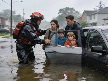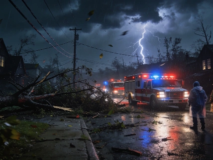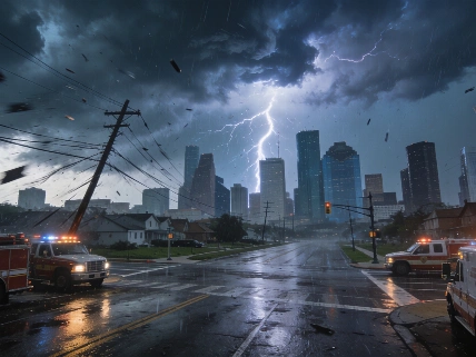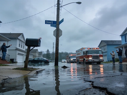

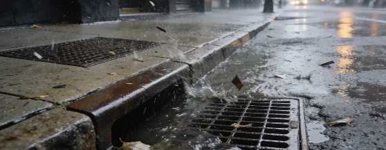
A Level 2 severe weather alert covers the New York City area Friday, with straight-line wind gusts over 60 mph possible and a lower risk of flash flooding. Tornadoes and hail are unlikely, but rapid rainfall could disrupt travel and infrastructure.
Much of the New York City metro area faces an elevated risk of severe weather Friday afternoon and evening, as a Level 2 threat on the five-point scale extends from the lower Hudson Valley and central New Jersey southwest toward Washington, D.C. The primary concern is damaging straight-line wind gusts that could exceed 60 miles per hour, posing risks to power lines, trees, and property. While the probability of tornadoes and hail remains low, the potential for sudden, heavy rainfall could lead to localized flash flooding, especially in areas with poor drainage or saturated ground.
According to reporting by NBC New York, a severe thunderstorm watch has been issued for all five boroughs, as well as adjacent counties in New Jersey and the Hudson Valley, effective until 9 p.m. Friday. Storms are expected to develop as early as mid-afternoon, coinciding with peak daytime heating and temperatures near 90°F. Initial storm cells may be isolated, but activity is forecast to become more widespread by early evening, when the risk of damaging winds and rapid rainfall will be highest. After 9 p.m., the threat is expected to diminish as storms weaken and become more scattered.
Most locations are projected to receive less than an inch of rain, but isolated pockets could see 2 to 4 inches in a short period. The atmosphere is carrying significant moisture, increasing the likelihood that the strongest storms will produce intense downpours. Fortunately, the risk of 'training'-where multiple storm cells pass repeatedly over the same area-is considered low, which should help limit the overall flood threat. Still, flash flooding remains possible in vulnerable spots, and rapid water accumulation could disrupt evening commutes, public transit, and local infrastructure.
Looking ahead to the weekend, the chance of additional showers and storms decreases on Saturday, with rain probabilities dropping to near zero by Sunday in the New York City area. Residents and businesses should remain alert to changing weather conditions, especially if they have outdoor plans or rely on transportation that could be affected by sudden storms.
According to the National Weather Service, severe thunderstorms are responsible for a significant share of U.S. property damage each year. In 2023, insured losses from severe convective storms-including wind, hail, and flash flooding-exceeded $50 billion nationwide, making it one of the costliest years on record for weather-related claims. Urban areas like New York City are particularly vulnerable to flash flooding due to dense development and limited drainage capacity, which can amplify the impact of short-duration, high-intensity rainfall events.
Severe weather watches and warnings are issued based on real-time atmospheric data and forecast models that assess the likelihood of damaging winds, hail, tornadoes, and flooding. A Level 2 threat on the Storm Prediction Center's scale indicates a heightened risk of severe storms, but not the highest category. For households and businesses, understanding the difference between a watch (conditions are favorable for severe weather) and a warning (severe weather is occurring or imminent) is critical for timely response. Flash flooding can develop rapidly, especially in urban environments, so monitoring official alerts and having a plan for shelter or evacuation can help reduce risk and financial loss.